Key Aspects
What the Hyperspectral Satellite HS-1 Will Do
The Hyperspectral Satellite HS-1 carries sensors that record hundreds of narrow spectral bands, allowing analysts to detect subtle differences in crop health, soil moisture and vegetation stress that conventional multispectral satellites miss. This capability enables precision farming, more accurate yield estimates and early detection of crop disease or water stress. SUPARCO expects benefits to the agricultural sector through improved yield estimation and resource allocation.
 Pakistan’s New Petrol Rates November 2025
 Cyclone Shakhti Intensifies — Rough Seas & Heavy Gusts Expected
Agriculture: Smarter, Faster, Greener 🌾
By providing detailed spectral fingerprints of crops, the Hyperspectral Satellite HS-1 will help agronomists and policymakers target fertilizer, irrigation and pest-control measures more effectively. SUPARCO’s projections suggest yield-estimation improvements in the range of 15–20% for key croplands when remote-sensing data are integrated with ground truthing and AI models — a direct boost to food security and farm incomes.
Disaster Management and Environmental Monitoring ⚠️
The Hyperspectral Satellite HS-1 will contribute to flood forecasting, landslide risk mapping and post-disaster damage assessment by providing timely spectral information on water extent, soil saturation and vegetation loss. These data feeds can be fused with meteorological and hydrological models to strengthen early-warning systems along vulnerable corridors such as the Karakoram Highway and northern mountain ranges.
Urban Planning and Infrastructure Mapping 🏙️
Urban planners will use Hyperspectral Satellite HS-1 imagery to analyse material types, roof conditions, impervious surfaces and urban heat islands. Because hyperspectral signatures can differentiate building materials and vegetation types, city authorities can adopt smarter land-use policies, better manage utilities and plan green corridors that reduce heat and pollution.
How HS-1 Fits into Pakistan’s Growing Space Fleet
The new Hyperspectral Satellite HS-1 joins Pakistan’s expanding remote-sensing constellation that includes PRSS-1 (2018) and the domestically built EO-1 launched in January 2025, strengthening the country’s capacity for independent Earth observation and timely decision-support. SUPARCO frames HS-1 as part of a national vision to scale science and innovation through 2047.
Data, Partnerships and Downstream Use
HS-1 data will be valuable to federal ministries, provincial departments, universities and private agritech firms. SUPARCO’s partnership model with Chinese launch and manufacturing partners has helped accelerate capability while Pakistan builds local expertise for data analysis, calibration and application development. Users will be able to obtain processed products that integrate hyperspectral indices with GIS platforms for operational use.
Why This Matters — National Impact
Beyond scientific prestige, the Hyperspectral Satellite HS-1 promises practical returns: improved crop forecasts, faster disaster response, better water-resource modelling and more informed urban development. For a country facing climate variability and infrastructure pressures, these remote-sensing assets are strategic tools for resilience and economic planning.
 Pak-Afghan Ceasefire 2025 Bought Time for Crucial Doha Negotiations
 Sindh Traffic Fines 2025: New Rules, Bigger Penalties, Safer Roads!
Where to Read the Official Briefs and Live Coverage
For official updates and technical details consult SUPARCO’s programme pages and major national outlets. Reliable sources include SUPARCO’s project pages and national press coverage from Dawn, Geo News and international wires that carried the HS-1 announcement. You can also follow live launch coverage on reputable news portals. :contentReference[oaicite:6]{index=6}
For ongoing analysis and follow-up stories on the HS-1 mission, visit our partner site and reporting hub at newscloud.pk, Geo TV which will host explainers and translated datasets for practitioners and general readers.
FAQs
- What is the HS-1 satellite? HS-1 is Pakistan’s first hyperspectral satellite designed to capture detailed spectral signatures across hundreds of bands for agriculture, environmental monitoring and urban planning.
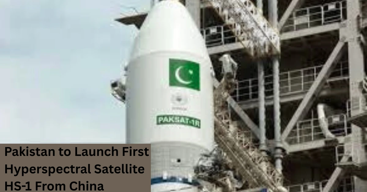
- When and where will HS-1 be launched? SUPARCO announced HS-1 will launch from China’s Jiuquan Satellite Launch Centre on October 19, 2025. :contentReference[oaicite:8]{index=8}
- How will HS-1 help farmers? HS-1 provides high-detail spectral data used to assess crop health, soil moisture and irrigation needs — enabling precision interventions and improved yield estimates.
- Which agencies will use HS-1 data? Federal and provincial disaster-management authorities, agriculture departments, urban planners, research institutions and private agritech firms will be primary users.
- How does HS-1 complement Pakistan’s earlier satellites? HS-1 complements PRSS-1 and EO-1 by adding hyperspectral capability to the existing optical and remote-sensing fleet, enhancing spectral resolution and application breadth.